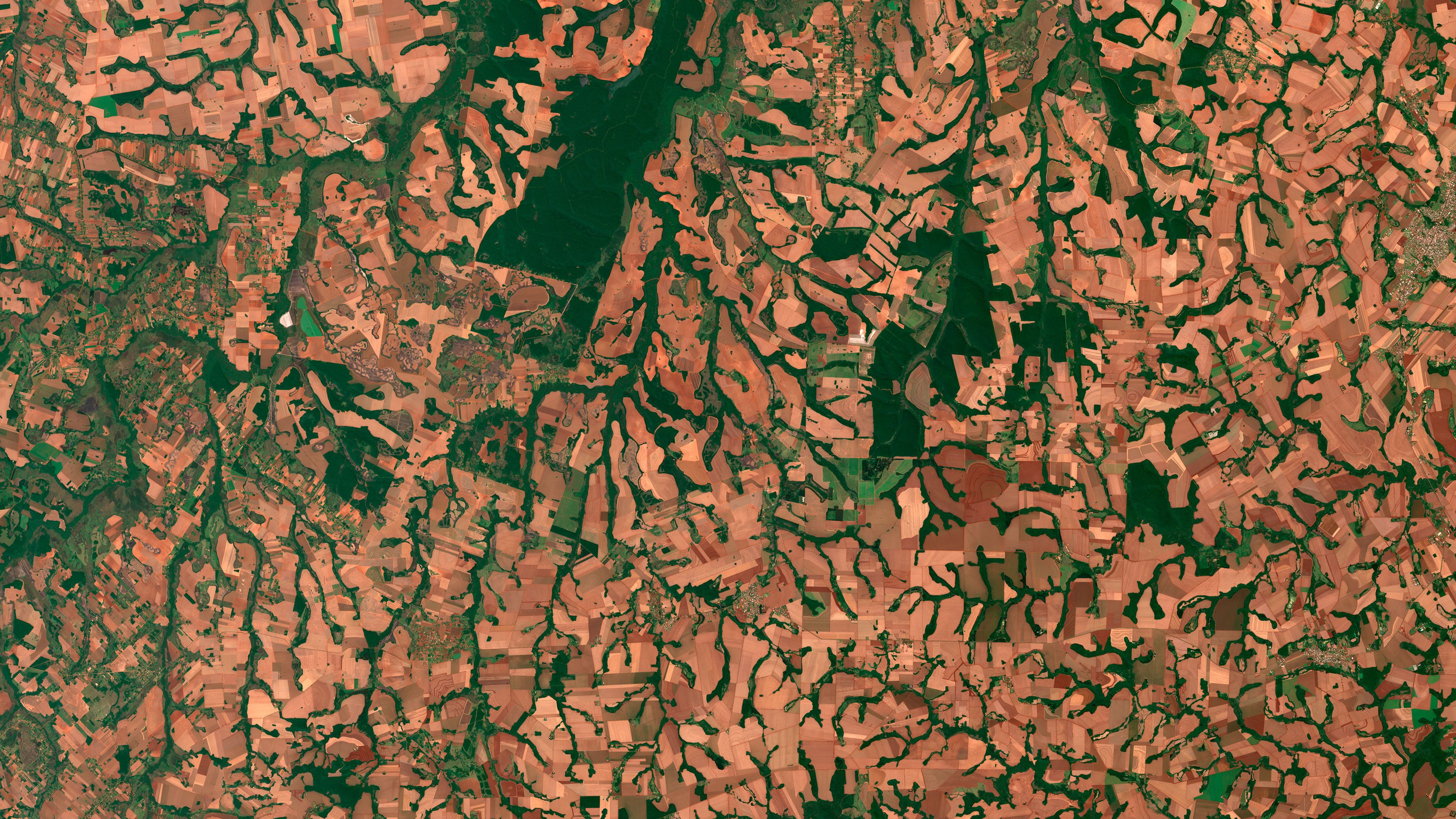
Agricultural fields and forests
© Copernicus Sentinel Data 2025
This overview of the fields in San Cristobal, Paraguay, is one of countless finely detailed images available in the Microsoft Planetary Computer. This vast, cloud-powered database lets scientists see a whole timeline of crisp satellite captures and environmental data for any location in the world. By analyzing this data, scientists can explore better ways to manage natural resources. For example, by comparing images and data with year-over-year crop yields, a scientist could find environmental clues as to why some years are more productive than others.
 大片丰饶的农田
 从高处俯瞰可爱岛
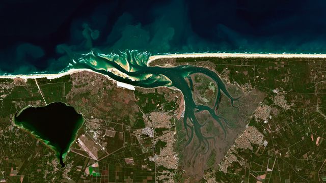 壮观的沙丘
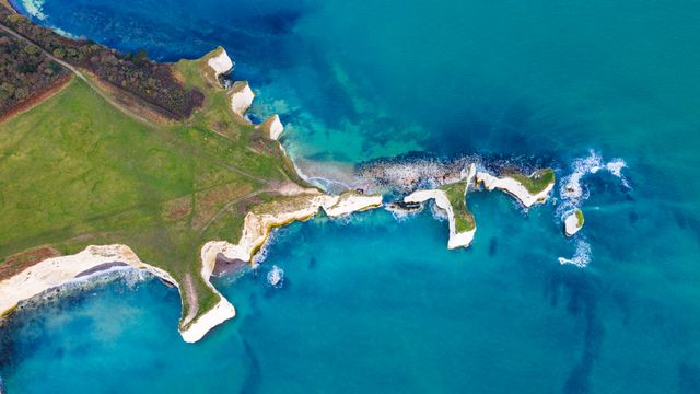 哈里的历史
 令鱼生畏的村庄
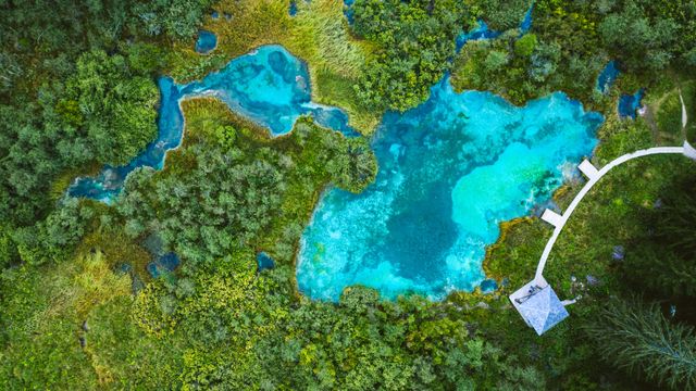 始终鲜活,从不冰冻
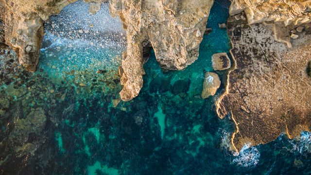 这是哪里的“波特兰”?
 航海之旅要结束了!